Rebuilding beaches after hurricanes is costing U.S. taxpayers
billions of dollars more than expected as the Army Corps of
Engineers pumps mountains of sand onto storm-obliterated
shorelines. Congress approved more than $770 million since 2018
for emergency beach “nourishment” projects after five
megastorms struck Florida, Georgia and the Carolinas. Those
costs shattered government expectations about the price of
preventing beaches from disappearing through decades-old
programs that in many cases were created before the dangerous
effects of climate change were fully understood. Four of those
storms — Michael, Maria, Irma and Ian — were among the most
powerful to make landfall in the United States, raising
questions about the rising costs of pumping, dumping and
spreading sand onto beaches that are increasingly jeopardized
by the effects of climbing temperatures.
California’s Death Valley, the driest place in North America,
has hosted an ephemeral lake since late 2023. A NASA-led
analysis recently calculated water depths in the temporary lake
over several weeks in February and March 2024, demonstrating
the capabilities of the U.S.-French Surface Water and Ocean
Topography (SWOT) satellite, which launched in December 2022.
The analysis found that water depths in the lake ranged from
about 3 feet (1 meter) to less than 1.5 feet (0.5 meters) over
the course of about 6 weeks. This period included a series of
storms that swept across California, bringing record amounts of
rainfall.
As part of a $250 million commitment to support four water
supply projects in Southern California, Los Angeles will
receive $139 million over 25 years for its Groundwater
Replenishment Project in the San Fernando Valley, officials
announced on Monday, April 15. Earlier this month, the
Metropolitan Water District of Southern California’s Board of
Directors approved separate agreements with water agencies,
including the city of Los Angeles, as part of its Local
Resources Program. The Metropolitan Water District is a
state-established wholesaler that provides water for 19 million
people in six counties. The Local Resources Program aims to
provide economic incentives for water developed and produced
from groundwater clean-up, water recycling and seawater
desalination throughout the agency’s six-county service area.
A new lawsuit filed by public drinking water systems in
California against manufacturers of toxic “forever chemicals”
is among the first to cite new Biden administration regulations
that set strict limits for the chemicals in drinking water. The
Orange County Water District and more than a dozen other
California water utilities filed the lawsuit in Los Angeles
federal court on Friday against seven manufacturers of per- and
polyfluoroalkyl substances, or PFAS, including Dynax America
Corp. and Arkema Inc. The lawsuit accuses the manufacturers of
negligence and of creating a nuisance by contaminating water
with PFAS, and seeks money to remediate that contamination.
The International Boundary and Water Commission is again being
sued over water-quality permit violations that have led to
rampant sewage polluting San Diego County’s southernmost
shoreline. The San Diego Coastkeeper and Coastal Environmental
Rights Foundation on Thursday filed a lawsuit in federal court
against the U.S. arm of the IBWC and its contractor Veolia
Water North America-West, alleging violations of the Clean
Water Act.
Near the western tip of the Mojave Desert and a few miles west
of NASA’s Armstrong Flight Research Center, fields of
wildflowers painted the landscape yellow in spring 2024. On
April 9, the OLI (Operational Land Imager) on the Landsat 8
satellite acquired this image of fields of yellow wildflowers
blanketing Antelope Valley amid solar and wind farms. The day
after the image was acquired, the Antelope Valley California
Poppy Reserve reported that wildflowers were “popping,” but the
region’s famous poppies were not. Rangers at the reserve said
they also saw very few small poppy plants maturing, suggesting
an impressive poppy bloom is unlikely in the coming weeks.
Today, Congresswoman Norma Torres and Congressman David Valadao
– members of the House Appropriations Committee – announced the
introduction of the bipartisan Removing Nitrate and Arsenic in
Drinking Water Act. This bill would amend the Safe Drinking
Water Act to provide grants for nitrate and arsenic reduction,
by providing $15 million for FY25 and every fiscal year
thereafter. The bill also directs the Environmental
Protection Agency (EPA) to take into consideration the needs of
economically disadvantaged populations impacted by drinking
water contamination. The California State Water Resources
Control Board found the Inland Empire to have the highest
levels of contamination of nitrate throughout the state
including 82 sources in San Bernardino, 67 sources in Riverside
County, and 123 sources in Los Angeles County.
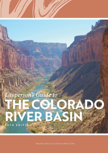
Learn the history and challenges facing the West’s most dramatic
and developed river.
The Layperson’s Guide to the Colorado River Basin introduces the
1,450-mile river that sustains 40 million people and millions of
acres of farmland spanning seven states and parts of northern
Mexico.
The 28-page primer explains how the river’s water is shared and
managed as the Southwest transitions to a hotter and drier
climate.
The Topock Marsh has seen a significant drop in water levels
recently, with dry patches visible and locals concerned about
the effects on wildlife. The 4,000-acre Bureau of Reclamation
marsh is adjacent to the Colorado River in the Havasu National
Wildlife Refuge. Managed by the U.S. Fish and Wildlife Service,
it serves as a recreation area and wildlife habitat for the
Tri-state.
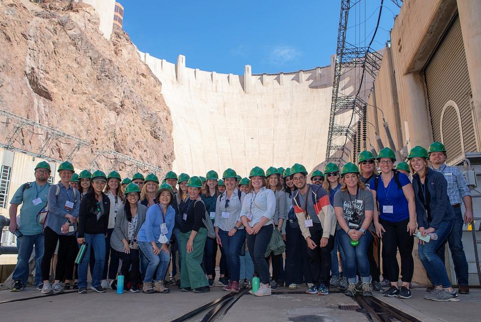
This tour explored the lower Colorado River firsthand where virtually every drop of the river is allocated, yet demand is growing from myriad sources — increasing population, declining habitat, drought and climate change.
The 1,450-mile river is a lifeline to some 40 million people in the Southwest across seven states, 30 tribal nations and Mexico. How the Lower Basin states – Arizona, California and Nevada – use and manage this water to meet agricultural, urban, environmental and industrial needs was the focus of this tour.
Hilton Garden Inn Las Vegas Strip South
7830 S Las Vegas Blvd
Las Vegas, NV 89123
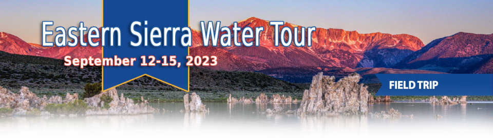
This special Foundation water tour journeyed along the Eastern Sierra from the Truckee River to Mono Lake, through the Owens Valley and into the Mojave Desert to explore a major source of water for Southern California, this year’s snowpack and challenges for towns, farms and the environment.
Managers of California’s most
overdrawn aquifers were given a monumental task under the state’s
landmark Sustainable Groundwater Management Act: Craft viable,
detailed plans on a 20-year timeline to bring their beleaguered
basins into balance. It was a task that required more than 250
newly formed local groundwater agencies – many of them in the
drought-stressed San Joaquin Valley – to set up shop, gather
data, hear from the public and collaborate with neighbors on
multiple complex plans, often covering just portions of a
groundwater basin.
Martha Guzman recalls those awful
days working on water and other issues as a deputy legislative
secretary for then-Gov. Jerry Brown. California was mired in a
recession and the state’s finances were deep in the red. Parks
were cut, schools were cut, programs were cut to try to balance a
troubled state budget in what she remembers as “that terrible
time.”
She now finds herself in a strikingly different position: As
administrator of the U.S. Environmental Protection Agency’s
Region 9, she has a mandate to address water challenges across
California, Nevada, Arizona and Hawaii and $1 billion to help pay
for it. It is the kind of funding, she said, that is usually
spread out over a decade. Guzman called it the “absolutely
greatest opportunity.”
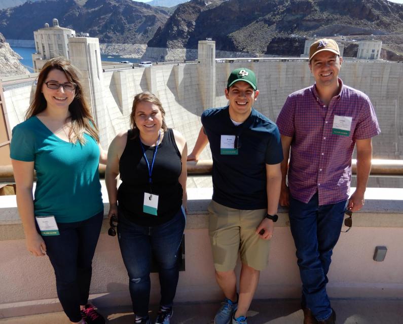
This tour explored the lower Colorado River firsthand where virtually every drop of the river is allocated, yet demand is growing from myriad sources — increasing population, declining habitat, drought and climate change.
The 1,450-mile river is a lifeline to some 40 million people in the Southwest across seven states, 30 tribal nations and Mexico. How the Lower Basin states – Arizona, California and Nevada – use and manage this water to meet agricultural, urban, environmental and industrial needs was the focus of this tour.
Hyatt Place Las Vegas At Silverton Village
8380 Dean Martin Drive
Las Vegas, NV 89139
The lower Colorado River has virtually every drop allocated, yet demand is growing from myriad sources — increasing population, declining habitat, drought and climate change.
The 1,450-mile river is a lifeline to 40 million people in the Southwest across seven states, 30 tribal nations and Mexico. How the Lower Basin states – Arizona, California and Nevada – use and manage this water to meet agricultural, urban, environmental and industrial needs was the focus of this tour.
Hyatt Place Las Vegas At Silverton Village
8380 Dean Martin Drive
Las Vegas, NV 89139
When you oversee the largest
supplier of treated water in the United States, you tend to think
big.
Jeff Kightlinger, general manager of the Metropolitan Water
District of Southern California for the last 15 years, has
focused on diversifying his agency’s water supply and building
security through investment. That means looking beyond MWD’s
borders to ensure the reliable delivery of water to two-thirds of
California’s population.
A government agency that controls much of California’s water
supply released its initial allocation for 2021, and the
numbers reinforced fears that the state is falling into another
drought. The U.S. Bureau of Reclamation said Tuesday that most
of the water agencies that rely on the Central Valley Project
will get just 5% of their contract supply, a dismally low
number. Although the figure could grow if California gets more
rain and snow, the allocation comes amid fresh weather
forecasts suggesting the dry winter is continuing. The National
Weather Service says the Sacramento Valley will be warm and
windy the next few days, with no rain in the forecast.
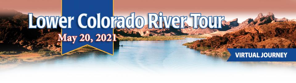
This event explored the lower Colorado River where virtually every drop of the river is allocated, yet demand is growing from myriad sources — increasing population, declining habitat, drought and climate change.
The 1,450-mile river is a lifeline to 40 million people in the Southwest across seven states and Mexico. How the Lower Basin states – Arizona, California and Nevada – use and manage this water to meet agricultural, urban, environmental and industrial needs was the focus of this tour.
Innovative efforts to accelerate
restoration of headwater forests and to improve a river for the
benefit of both farmers and fish. Hard-earned lessons for water
agencies from a string of devastating California wildfires.
Efforts to drought-proof a chronically water-short region of
California. And a broad debate surrounding how best to address
persistent challenges facing the Colorado River.
These were among the issues Western Water explored in
2019, and are still worth taking a look at in case you missed
them.
Many of California’s watersheds are
notoriously flashy – swerving from below-average flows to jarring
flood conditions in quick order. The state needs all the water it
can get from storms, but current flood management guidelines are
strict and unyielding, requiring reservoirs to dump water each
winter to make space for flood flows that may not come.
However, new tools and operating methods are emerging that could
lead the way to a redefined system that improves both water
supply and flood protection capabilities.


")
")


")
")
")